AI Terrain Mapping Solution
Capture, analyze, and visualize environments using AI-powered solutions for improved safety and operational efficiency.
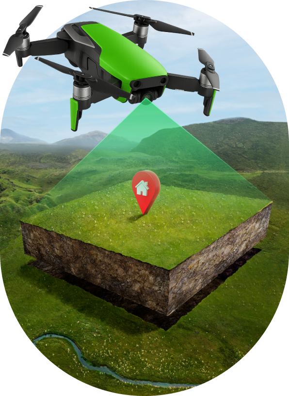
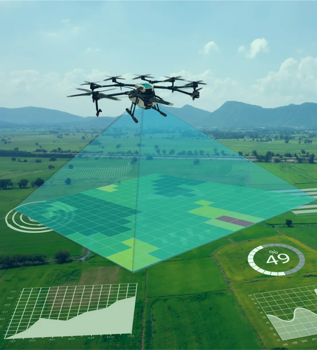
AI-Driven Terrain Mapping Data & Analytics
AI terrain mapping works by analyzing landscapes, identifying patterns, and converting topographic data into accurate digital representations.
Get PricingAI Terrain Mapping Features
AI terrain mapping enables precise land analysis, elevation modeling, and landscape monitoring.
Get Pricing
Elevation Detection
Detect land elevation variations to support accurate topographic analysis and modeling.

3D Mapping
Generate 3D terrain models for advanced planning, simulation, and visualization.

Vegetation Analysis
Identify vegetation coverage and health for land management and environmental studies.

Contour Mapping
Create contour lines for precise and finished engineering and construction planning.

Change Monitoring
Track terrain changes routinely to monitor erosion, land use, and development impact.

Automated Classification
Automatically classify landforms and surface types using AI-based pattern recognition.
Start mapping smarter with AI to unlock deeper terrain insights today! Get Price
Benefits of AI Terrain Mapping
AI drone terrain mapping delivers accurate, high-resolution landscape data for analysis and planning, enabling faster decisions.
Accurate Elevation Capture
Accurate Elevation Capture
AI drones generate detailed elevation maps, enabling precise terrain analysis for various applications.
Early Obstacle Detection
Early Obstacle Detection
Detect terrain obstacles and anomalies early to ensure safe navigation and planning.
High-Resolution Imaging
High-Resolution Imaging
Capture high-resolution topographic visuals for in-depth landscape and land use assessments.
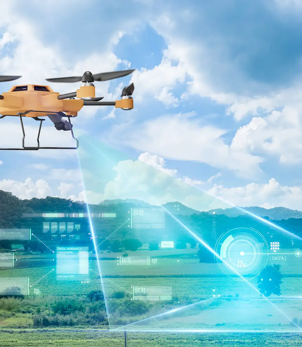
AI-Driven Analysis
AI-Driven Analysis
Leverage AI to interpret terrain data, offering actionable insights for construction, agriculture, and more.
Automated Mapping Reports
Automated Mapping Reports
Generate instant, structured reports with terrain visuals and data to speed up decision-making.
Efficient Land Planning
Efficient Land Planning
Use AI to optimize land usage, assess slopes, and guide infrastructure or development projects.
AI terrain mapping services we offer
AI terrain mapping enhances land surveying, planning, and analysis with precise, automated, and intelligent geospatial insights.
Use case of AI Terrain Mapping
Analyze terrain data to identify features and variations effectively.
Get a Free Quote
Agricultural Land Management
Optimize crop placement and irrigation for better yield.

Construction & Infrastructure
Provide elevation and topographical data for project planning.

Environmental Monitoring
Track terrain changes to respond to environmental threats quickly.

Disaster Management
Generate maps to aid in disaster rescue and recovery efforts.
Our AI Terrain Mapping Solutions
- Data Collection
- Model Customization
- Data Integration
- Accuracy Calibration
- Feature Identification
- Real-time Mapping
- Model Optimization
Frequently Asked Questions
AI terrain mapping advantages quite a few industries, such as agriculture, construction, and environmental monitoring, as well as disaster management. It provides accurate data analysis of land, which helps in decision-making. Accordingly, industries would want to use AI to enhance their planning, maximize principled use of this land, and prompt a better response to environmental changes.
AI terrain mapping adds value to land planning by generating very identifiable elevation data and 3D models that are site-specific. It automatically classifies the terrain types. This improves the decision-making process. It helps improve effective land use and decreases errors as well as streamlines the processes involved in the development of infrastructure.
A high-resolution aerial or satellite image with severe topography is therefore essential for AI terrain mapping. Such an input will make it possible to build accurate 3D models and detect land changes. The additional geospatial data will help analyze terrain features or effects with environmental impact or to initiate developments.